Menu

Show posts

This section allows you to view all posts made by this member. Note that you can only see posts made in areas you currently have access to.

Show posts Menu

Messages - Michal

#1
Quote from: john_percy on March 10, 2021, 10:12:50
Plain/Hill/Mountain makes sense as a triad, and has no rude obscene connotations that I am aware of (an important consideration when using a foreign language).
However, my first thought was actually that the proposed naming appears to tie the Locus tiers rather strongly to the intended usage. If I walk or ride mainly in the plain, do I want the Plain version? Maybe it has no contour lines? Maybe the Hill version stops working above 1000m and the maps disappear in mist?


Sent from my moto g(6) plus using Tapatalk

I totally agree.

I know that free, base, advanced are less fun names, but they better describe the version of locus.
sleeping bag, camping tent, resort, just kidding.  :D
The following users thanked this post: Michal
#2
Plain/Hill/Mountain makes sense as a triad, and has no rude obscene connotations that I am aware of (an important consideration when using a foreign language).
However, my first thought was actually that the proposed naming appears to tie the Locus tiers rather strongly to the intended usage. If I walk or ride mainly in the plain, do I want the Plain version? Maybe it has no contour lines? Maybe the Hill version stops working above 1000m and the maps disappear in mist?


Sent from my moto g(6) plus using Tapatalk

The following users thanked this post: Michal
#3
Tools / Map Points Trimmer v3.3
May 28, 2020, 18:17:51
Map Points Trimmer v3.3.2

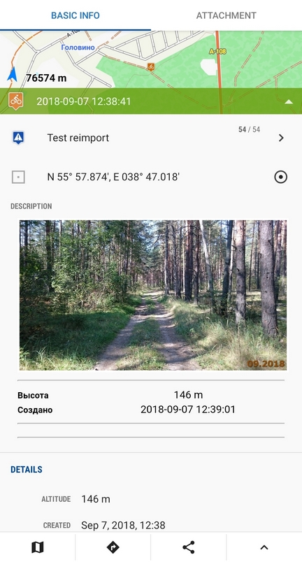
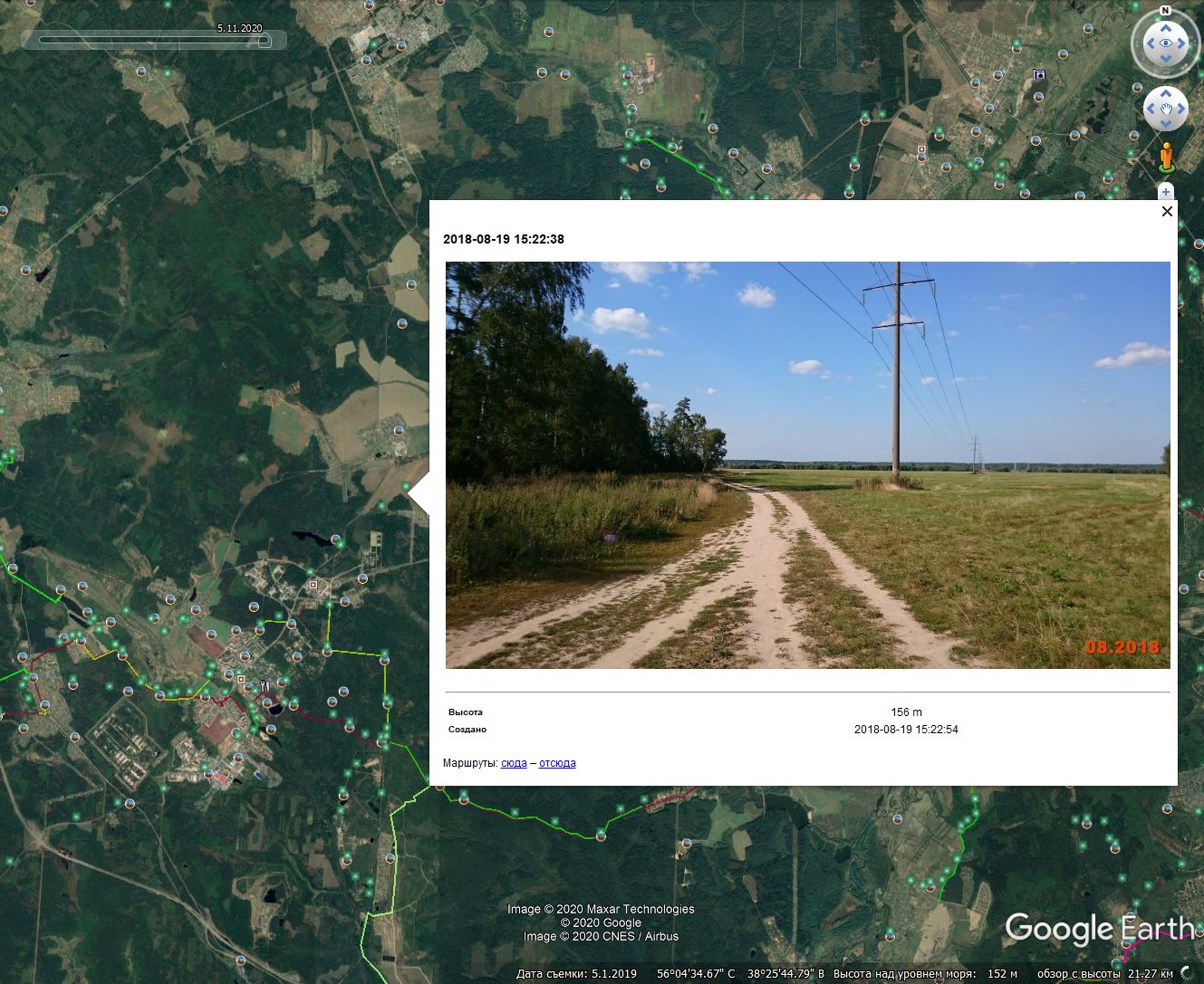
The aim of this utility is to help transfer your map points with photos in their descriptions from one program to another one so that embedded photos will be properly displayed according to your wishes and screen resolution as preview and have the ability to be magnified by click. Also you can set any path to your photos within any device, delete outdated garbage from descriptions and so forth.

To be short, the main bonus for Locus Map is to get pictures right in the description body and/or as the attachments.

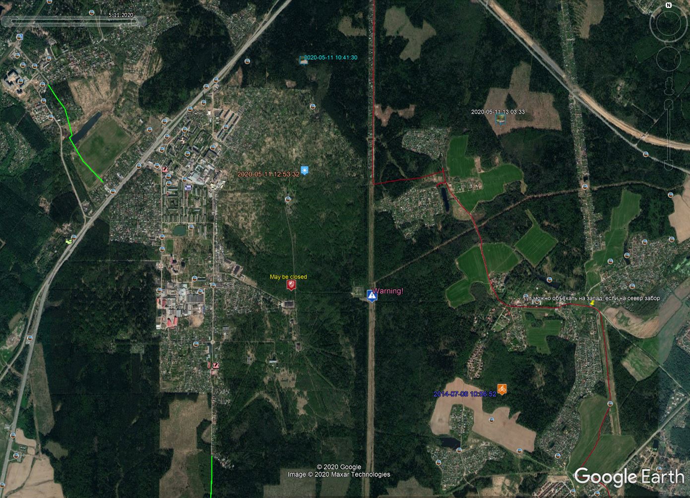
Initially this program has been developed as a self-education utility for quick transformation a huge database of my own map points before transferring them between Locus Map Pro and Google Earth Pro on desktop forth and back.

Then it was added with some more features and I decided to make a design and let others to use it as it may be helpful for someone.

Ideally all this has to be made as a separate site page on a server but I'm not interested in having a hosting and for now the utility is being proposed as it is.
Use it at your own risk  8)

Download the latest release here: https://github.com/BAXMYPKA/MAP-POINTS-TRIMMER/releases

GitHub: https://github.com/BAXMYPKA/MAP-POINTS-TRIMMER

Minimum system requirements:


The following users thanked this post: Michal
#4
[CZ&SK] - diskuze o Locusu / Re: Locus na SD kartu?
October 30, 2018, 19:51:18
Tak nakonec bylo řešení takové, že:
SD kartu jde v telefonu naformátovat dvěma způsoby:
- buď na data = půjde na ni nahrávat data a půjde číst, ale nepůjdou na ni přesouvat aplikace
- anebo jako interní paměť = půjdou na ni přesouvat aplikace, ale nepůjde číst

Já měl naformátováno tím druhým způsobem tudíž jsem musel:
- všechny aplikace přenesené na kartu vrátit do vnitřní paměti telefonu
- naformátovat telefonem (Nastavení / USB a úložiště) tím prvním způsobem, tedy "na data"
- restartovat telefon

A pak už kartu vidím a mohu na ni nahrávat data, jak potřebuji.

Píšu to takto proto, kdyby někdo řešil podobnou věc.
The following users thanked this post: Michal
#5
Other features / Locus on a bike computer!
March 20, 2018, 06:54:01
Hey all,

I recently got a Hammerhead Karoo, a Garmin 1030-type competitor which runs Android.

The default device is locked down, but it was pretty simple to sideload apps via adb, and even to unlock the bootloader, port TWRP, and install Play Services.

So of course I had to get Locus on it, and the results are amazing. The battery life, ruggedness, and quarter-turn compatibility of a real bike computer coupled with the power and customizability of Locus. Super happy with this setup, and I had to share!

Navigating with Elevate and a Strava overlay:


Using a custom screen for small displays:


Shot of a Karoo mounted to a bike: (not close to my own bike right now, so couldn't take my own picture...)


Next up is designing a custom screen/dashboard for this form factor...
The following users thanked this post: Michal
#6
Hello Michal
mapitem has changed a little bit in the past
http://docs.locusmap.eu/doku.php?id=manual:user_guide:mainscr_lpanel#active_items
so this sentence should be modified
from the Items tab of the Data manager
and also following screenshot, currently there is no "Items" tab
http://docs.locusmap.eu/lib/exe/fetch.php?media=manual:user_guide:points:poimanager.png

Wolfgang
The following users thanked this post: Michal
#7
There is missing TTS option in Settings - Guidance - Notification  Doc page
http://docs.locusmap.eu/doku.php?id=manual:user_guide:functions:guidance
The following users thanked this post: Michal
#9
Menion si čím ďalej rýchlejší :-D a čítač myšlienok ;-)
Som Ti chcel napísať že by to bolo dobre niekde dát... ok vybavené.

CHYBA PRI HTC
Na HTC M9 nie len Extreme Power Saving Mode zabije GPS
ale aj Standard Power saving Mode!

Extreme Power Saving Mode (HTC) ZABIJE VŠETKY APLIKÁCIE tretích strán takže aj Locus úplne takže tam už ani GPS nepomôže a niet čo riešiť :-D
The following users thanked this post: Michal