Hallo taunide
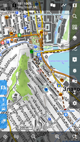
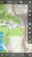
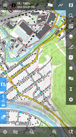
Die Freizeitkarte wird ab Ausgabe 19.06 in Version 4 angeboten. Die auschliesslich dazu passenden Themes werden beim Download (Locus Link auf der Webseite) automatisch mit installiert. Ja es sind v5 Themes.
Die alten Themes (v1! mit Locus Extension) gibt es nicht mehr, da sie nur mit v3 Karten lauffähig wären, welche nicht mehr angeboten werden.
Diese Karte zu Theme Verknüpfung ist eine Restriktion von Locus. Normalerweise (bei anderen Apps) sind die unterstützten Karten-Versionen und Theme-Versionen von der Mapsforge Engine Version abhängig. Zum Beispiel kann ein v1 Theme auch mit einer v5 Karte funktionieren.
Du findest die alte v3 Freizeitkarte Ausgabe 19.03 im Moment noch hier:
http://download.freizeitkarte-osm.de/android/1903/
Zu deinem ursprünglichen Problem: "Die graphic engine von 3.38 ist einfach unbenutzbar lahm beim Verschieben von Karten"
Ja, es gibt Performance Unterschiede. Von unbenutzbar lahm würde ich aber überhaupt nicht sprechen.
Es ist nur bedingt von der Karte abhängig. D.h. du wirst diesen Eindruck bei allen anderen v4 oder v5 Karten auch haben. v3 Karten wird es nicht mehr lange geben. D.h. auf dem freien Markt (LoMaps vielleicht schon). Deshalb solltest du anstatt auf irgendeine v3 Karte zu gehen, das Performance Problem mit der v4 Karten hier angehen d.h. im englischen Teil damit menion sich das ansehen kann.
The following users thanked this post: taunide