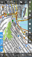
Tiramisù as OpenTopoMap


for the topography, and exploration on the maps only for V4 maps!
For V3 (lomaps and other) TOTM 1.9.2 - > https://forum.locusmap.eu/index.php?topic=6027.0
in the future it will be slightly improved:
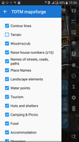
all water except springs (rivers, streams, lakes, canals, etc.)all railway and tram- all labels
- setting priorities
- streets, driveways and younger roads in the direction of greater elegance (at the moment - too thick)
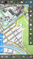
It also works well on Oruxmap, Cruiser, and most likely in other mapsforge-compatible programs
(tested in Oruxmaps 7.4.22, Cruiser 1.7)
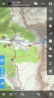
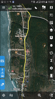
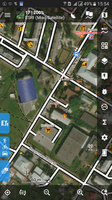
Map: ESRI satellite; Overlay 85%: OAM Ural ML; Layer "Terrain" in the theme is OFF
Waiting for comments and constructive criticism.
The following users thanked this post: wohey
