Hi all,
A sibling to the gpxsolar tool I posted here recently — same idea, different data.
A sibling to the gpxsolar tool I posted here recently — same idea, different data.
lidar2map is a free open-source tool (GPLv3) that turns high-resolution LiDAR into shaded-relief map overlays you can load in Locus Map. It downloads the elevation data, builds the relief, and tiles it for you.
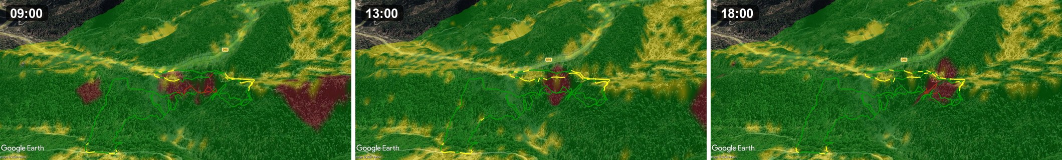
What it produces: multidirectional hillshade and Sky-View Factor (SVF) relief — the kind of visualization that reveals micro-terrain you can't see on satellite or standard maps (old paths, terraces, earthworks, drainage). Useful for hiking route-finding and terrain reading.
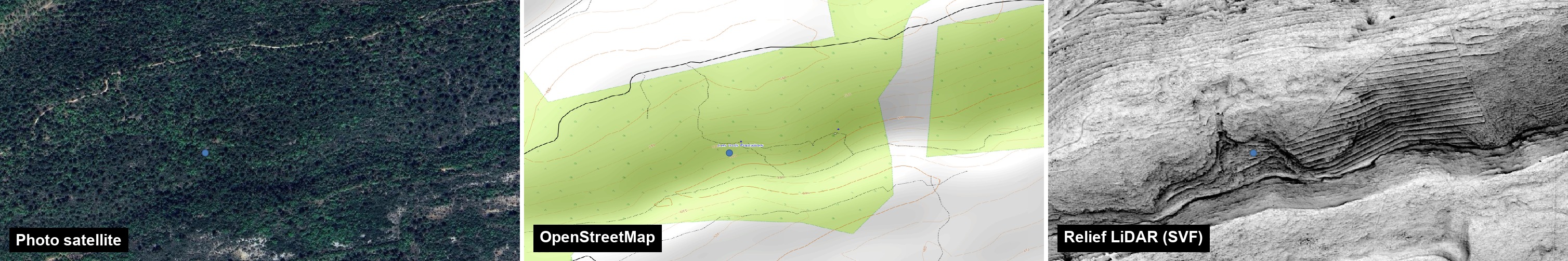
Same place: satellite, OpenStreetMap, then the LiDAR relief (SVF) — the relief reveals what the other two don't show.
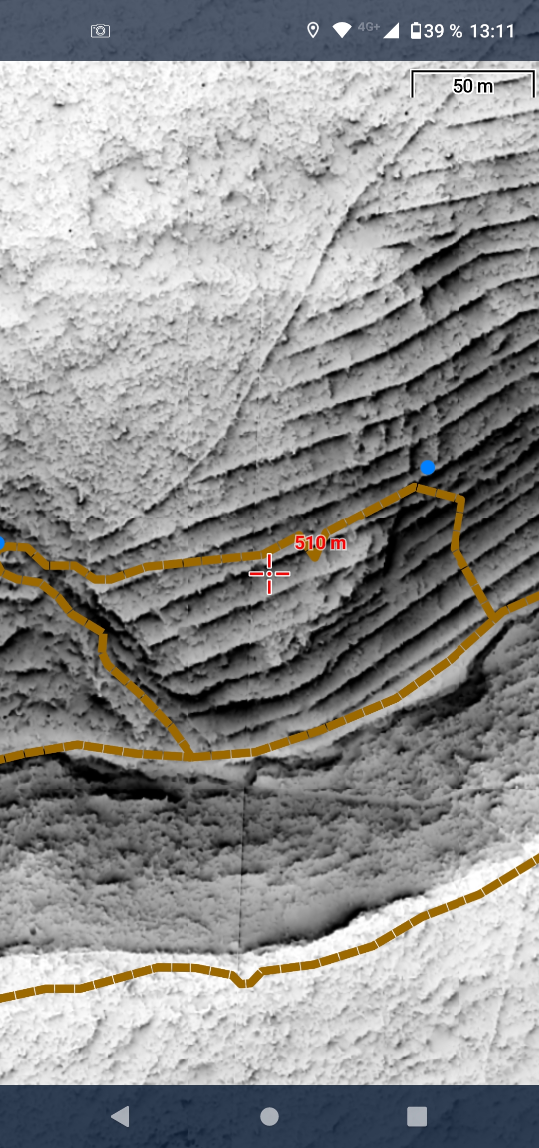
And loaded as an overlay inside Locus Map:
Heads-up on coverage: the built-in data source is the French national LiDAR HD (IGN), so out of the box it covers France only. The processing itself is generic — if you have your own LiDAR tiles for another region, the relief pipeline works on those too.
How to use it in Locus Map:
[list=1]
- Generate an MBTiles or SQLiteDB output (the SQLiteDB uses the RMaps schema Locus reads natively).
- Load it as a map overlay (Settings → Maps → overlay), or as a standalone map.
- Stack it under your usual map at reduced opacity to combine relief with your base layer.
Outputs: MBTiles (universal), SQLiteDB (RMaps schema — Locus / OsmAnd), Mapsforge .map, RMAP (CompeGPS / TwoNav). Runs on Windows / Linux / macOS, GUI or CLI.
Repo (code, build, docs): https://github.com/nico579/lidar2map
Hobby project — feedback welcome, especially on the Locus loading side.